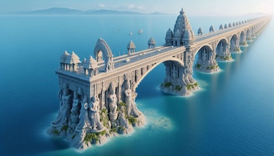
The Indian Space Research Organisation (ISRO) has generated the most detailed map of Adam’s Bridge — popularly known as Ram Setu — confirming the submerged ridge as a “continuity” from Dhanushkodi in India to Talaimannar Island of Sri Lanka.
Researchers from ISRO’s Jodhpur and Hyderabad National Remote Sensing Centres carried out the mapping exercise with the National Aeronautics and Space Administration (NASA) satellite ICESat-2 that bounced laser beams off the seafloor to establish that 99.8 percent of Adam’s Bridge was submerged in shallow waters.
भारतीय अंतरिक्ष अनुसंधान संगठन (इसरो) ने एडम्स ब्रिज - जिसे लोकप्रिय रूप से राम सेतु के नाम से जाना जाता है - का सबसे विस्तृत मानचित्र तैयार किया है, जो इस बात की पुष्टि करता है कि यह डूबा हुआ रिज भारत के धनुषकोडी से श्रीलंका के तलाईमन्नार द्वीप तक एक "निरंतरता" है।
इसरो के जोधपुर और हैदराबाद स्थित राष्ट्रीय सुदूर संवेदन केंद्रों के शोधकर्ताओं ने राष्ट्रीय वैमानिकी एवं अंतरिक्ष प्रशासन (नासा) के उपग्रह आईसीईसैट-2 के साथ मानचित्रण कार्य किया, जिसमें समुद्र तल से लेजर किरणों को परावर्तित कर यह स्थापित किया गया कि एडम्स ब्रिज का 99.8 प्रतिशत हिस्सा उथले पानी में डूबा हुआ है।
Key Learnings
-
Noun : ridge //रिज// [ऊँची पट्टी]
Definition: a long, narrow raised part of a surface, especially a high edge along a mountain
Synonyms: crest, peak, hill
Antonym: valley, trough, depression -
Definition: completely covered or hidden under water
Synonyms: underwater, sunken, immersed
Antonym: surfaced, emerged, revealed